Israel Trail Days 2 and 3
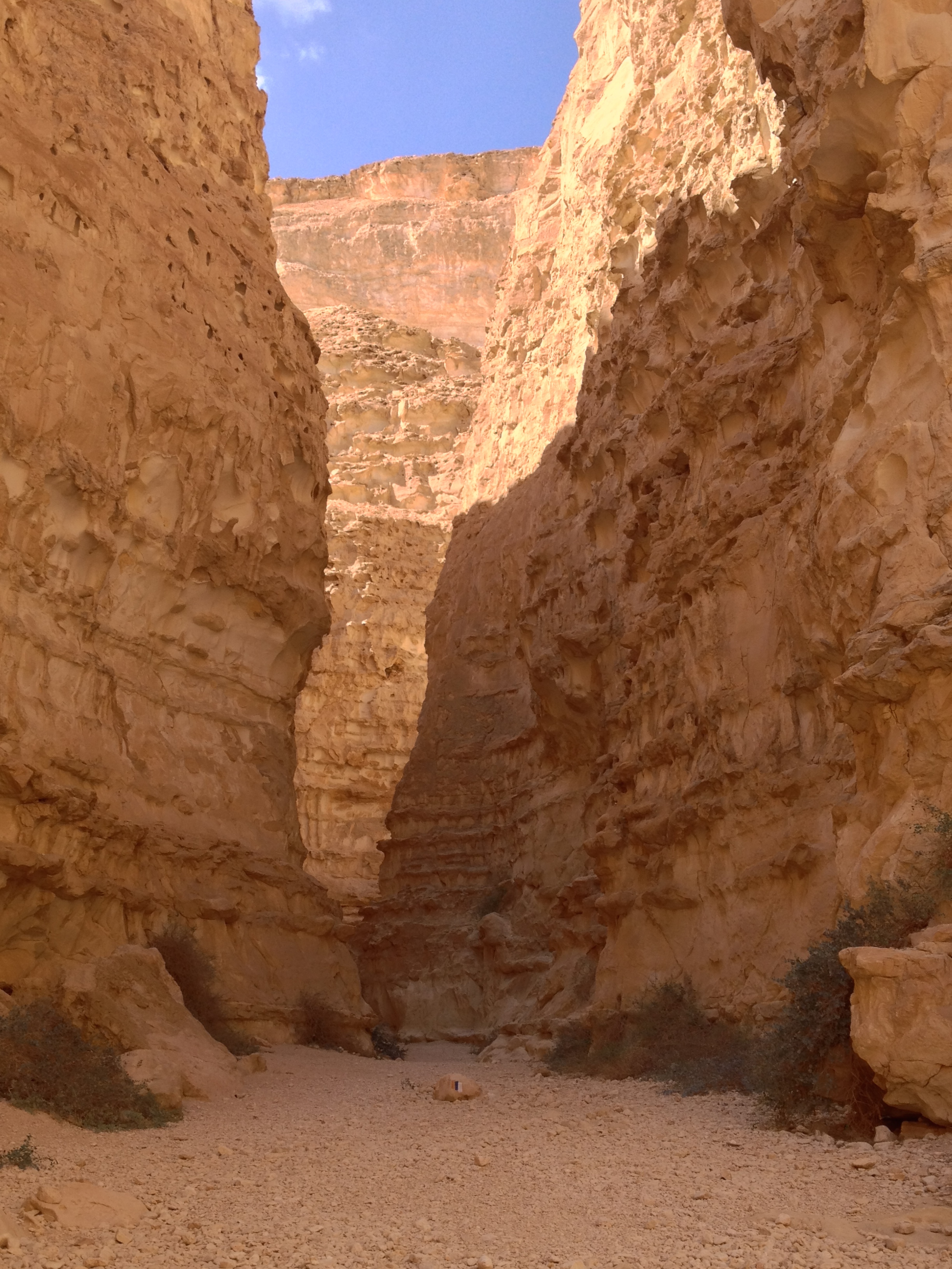
 February 10 and 11, 2013. Started at Wadi Kadesh and finished at SPNI’s Meron Field School.
Day 2: http://www.wikiloc.com/wikiloc/view.do?id=3965836
Day 3: http://www.wikiloc.com/wikiloc/view.do?id=3973815
The logistics for this trip worked out pretty well. I stayed at Leah’s Cabins in the Village in the moshav of Dishon, on the border with Lebanon between Kiryat Shmoneh and Safed. According to legend Dishon could be the biblical Tishbi, home of the prophet Elijah. It was a very convenient location, very close to the end of segment 3 and start of segment 4, which helped minimize the challenges in getting to/from the start and finish of the segments.
I drove up Saturday night so I could get an early start Sunday. Sunday morning the proprietor drove me to the start of the day’s segment back at Wadi Kadesh. Segment 3 takes quite a roundabout route, so it was only about 3 miles from the B&B to the start of the trail, even though it was a 12 mile (20km) run/hike back. I’m finding that on “moderate” terrain I usually average only around 4km/hour, and that’s even jogging when the terrain is accommodating enough to allow for that.
After arriving back at Dishon I spent the afternoon working. It’s very convenient that I can work from anywhere I have an internet connection. Went to Safed (Tzfat) about half an hour drive away for dinner.
Monday’s hike, segment 4, covered another 12 miles, starting out along Nahal Dishon. It was very scenic, and very wet — I had to cross the river several times. I noticed this was going to be an issue the day before, and decided to bring two pairs of shoes — one to wear when I was in the water, and one to keep dry. It mostly worked out pretty well, and I was glad for the two pairs of shoes. I suppose if I had some water shoes those would have been perfect for the many crossings of the river.
This is an excellent time for hiking the Israel Trail in the Galilee — very very green, very scenic with water in the streams, not too hot. There are places where high water can actually cause a few complications, but so far haven’t encountered anything I couldn’t deal with.
Finished a little past the “official” trail end — I continued to the Meron Field School. As it was pretty far out in the middle of nowhere, decided to try my luck hitchhiking bike to Dishon. I was lucky: got back to Dishon with only a little bit of waiting. My first ride was from a Chabadnik who wanted to spend most of the drive talking about Moshiach (the Messiah). I lucked out on my second ride, it was someone who lives right at Dishon and gave me a ride all the way.
Segment 3 meanders around Keren Naftali to the bottom of Nahal Dishon; Segment 4 mostly parallels the border with Lebanon, at times within 1 mile of the border.
“Segment 3: http://www.wikiloc.com/wikiloc/view.do?id=3965836 Segment 4: http://www.wikiloc.com/wikiloc/view.do?id=3973815”
From Israel Trail Segments 3 and 4. Posted by Barry Leff on 2/10/2013 (88 items)
- Started the hike at Wade Kedesh, officially the end of the last segment, but it was t…
- I'm told these red flowers that look like poppies are actually related to tulips…
- A forest in memory of the 28 soldiers who fell at Koach Fort. The Hebrew letters in …
- Monument at Koach Fort
- Hula Lake
- Guide for Segment 3.
- The trail goes right through the ruin
- Bunker, presumably from '48.
- Hula Lake — nature reserve
- The Golan Heights Winery has a vineyard in the Upper Galilee
- The top of Keren Naftali
- A very big stinky pile of BS…no doubt to fertilize the vineyard.
- The trail goes right over the pipe
- The entrance to the Dishon River Nature Preserve
- The end of Segment 3, start of Segment 4
- Had to ford the stream to get to the trail to the village.
- Unmarked trail from the Israel Trail to Dishon
- Leah's Cabins at Dishon, where I stayed.
- One of the many times I waded across Nahal Dishon on segment 4
- Yes, the trail went through the tunnel
- Finished Segment 4 at SPNI's Meron Field School.
Generated by Facebook Photo Fetcher 2


I am living vicariously through you! I wish I could walk/run the trail. Maybe some day. Keep the pictures and the encounters coming.